The Temple Fork Sawmill hike has always been, and will always be, one of our favorite hikes.
When our group began hiking over 4 summers ago this was one of our first hikes.
We have loved it since!
In fact, it was on a Temple Fork hike in which a great idea was born. The idea began with a photo taken of our hiking shoes. We all stood in a circle and someone snapped a photo while we looked down at our feet. The image from the photo is now fabulously placed on the back of our Likin Hikin t-shirts. Who says hikers aren't creative? Probably no one. But we like to think we are either way.
On this day there were 16 hikers who made the trek to the Temple Fork Sawmill site.
We have more fun than should legally be allowed! We also use the word "trek" lightly because this hike is easy peasy and not much of a trek at all.
Many photos have been taken on this bridge of the Likin Hikin Ladies.
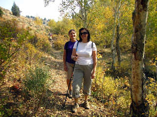
LuWana and Nancy were the first to arrive on this day. Check out those victory grins!
LuWana and Nancy were the first to arrive on this day. Check out those victory grins!
This bridge is located about 1.5 miles into the hike and is located right of the trail.
Once past the bridge the trail follows along beautiful Spawn Creek.
Both trail and creek wind their way through the stands of aspen and cottonwood.
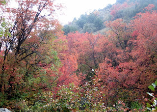
Fall, summer, spring, or winter, this trail is beautiful in all seasons.
Both trail and creek wind their way through the stands of aspen and cottonwood.
Fall, summer, spring, or winter, this trail is beautiful in all seasons.

The beaver dams are said to be abandoned but we don't believe it. There are always
changes in the dam formations and evidence of beaver markings on the trees.
The beaver dams
The beaver dams
are intriguing to us as they show how busy those beavers really are!
The trail comes to an end at the Temple Sawmill site. We have taken many photos of the site but unfortunately not today. There is a small monument and a few artifacts that provide a little history of the mill and the wood used to help build the Logan Temple.
The trail comes to an end at the Temple Sawmill site. We have taken many photos of the site but unfortunately not today. There is a small monument and a few artifacts that provide a little history of the mill and the wood used to help build the Logan Temple.
If you go: The hike is a distance of 2.75 miles and is rated easy. The starting elevation is 6000 feet with a change at only 675 feet. Temple Fork road is located 15.2 miles up Logan Canyon. Turn right and cross the Logan River on a bridge. Immediately to the right will be a parking lot but the Temple Fork Road is suitable for cars for another 5 miles. We often walk this road if the gate is closed however. There is parking and a restroom available near the trailhead. The trailhead is located south, right of the berm.


